Earth Observation Services (Image Processing Software)
Originally published in 1992
Body
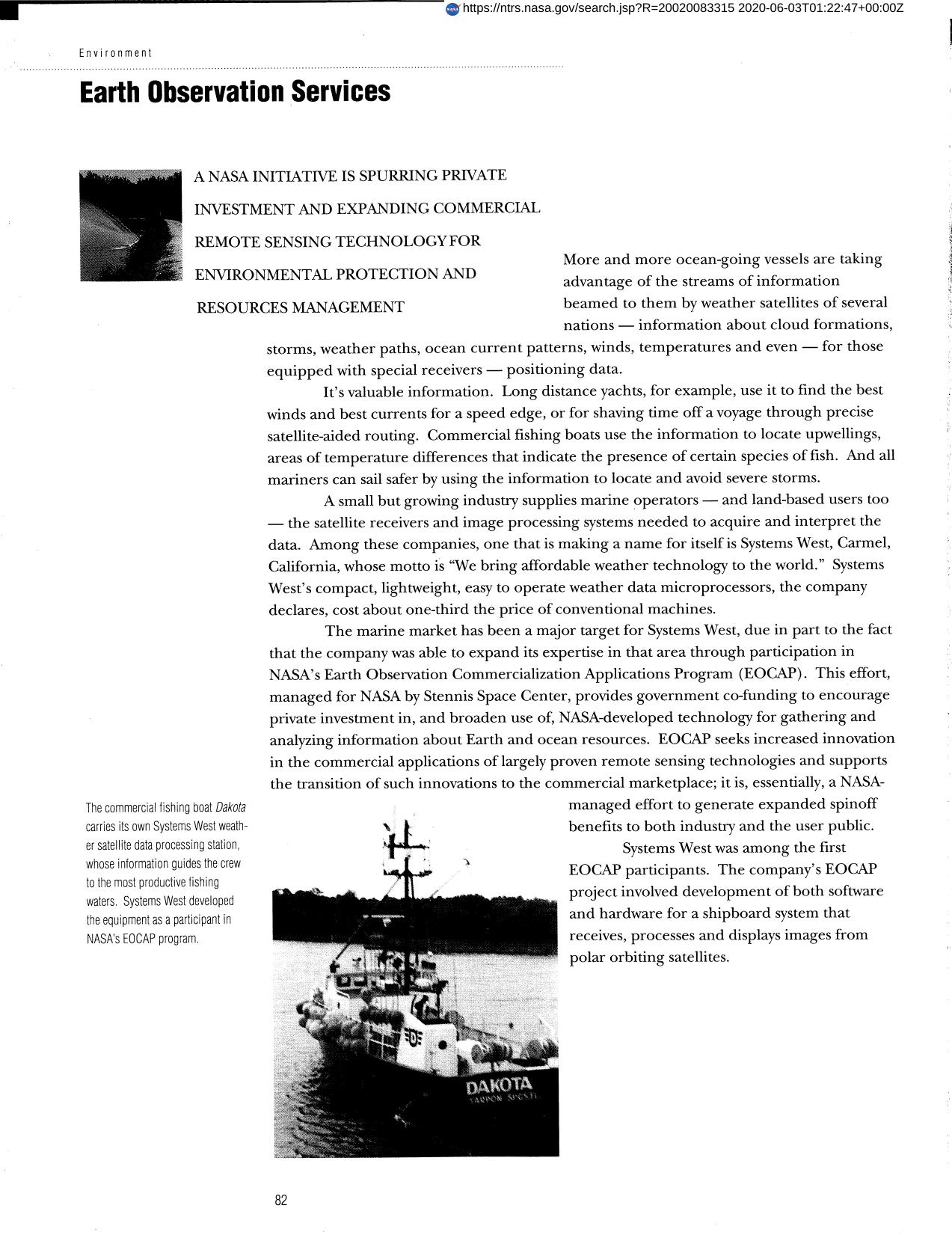
San Diego State University and Environmental Systems Research Institute, with other agencies, have applied satellite imaging and image processing techniques to geographic information systems (GIS) updating. The resulting images display land use and are used by a regional planning agency for applications like mapping vegetation distribution and preserving wildlife habitats. The EOCAP program provides government co-funding to encourage private investment in, and to broaden the use of NASA-developed technology for analyzing information about Earth and ocean resources.
Full article: http://hdl.handle.net/hdl:2060/20020083315
Abstract
San Diego State University and Environmental Systems Research Institute, with other agencies, have applied satellite imaging and image processing techniques to geographic information systems (GIS) updating. The resulting images display land use and are used by a regional planning agency for applications like mapping vegetation distribution and preserving wildlife habitats. The EOCAP program provides government co-funding to encourage private investment in, and to broaden the use of NASA-developed technology for analyzing information about Earth and ocean resources.

Earth Observation Services (Image Processing Software)

Earth Observation Services (Image Processing Software)


