Earth Observation Services (Oil Spill Mapping)
Originally published in 1992
Body
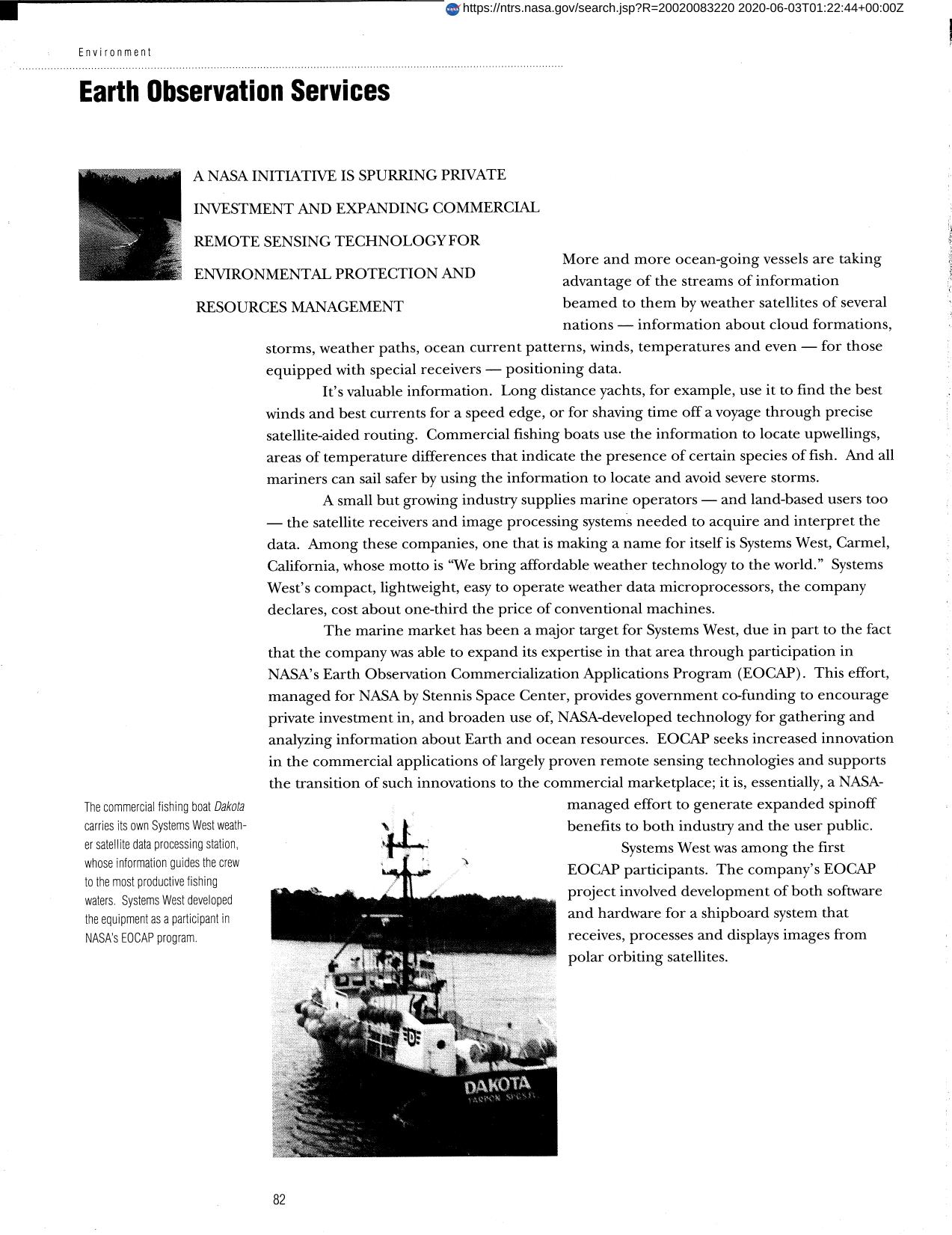
Two university professors used EOCAP funding to demonstrate that satellite data can generate forest classifications with equal or better accuracy than traditional aerial photography techniques. This omparison had not been previously available. CALFIRST, the resulting processing package, will be marketed to forest companies and government agencies. The EOCAP program provides government co-funding to encourage private investment in, and to broaden the use of, NASA-developed technology for analyzing information about Earth and ocean resources.
Full article: http://hdl.handle.net/hdl:2060/20020083220
Abstract
Two university professors used EOCAP funding to demonstrate that satellite data can generate forest classifications with equal or better accuracy than traditional aerial photography techniques. This omparison had not been previously available. CALFIRST, the resulting processing package, will be marketed to forest companies and government agencies. The EOCAP program provides government co-funding to encourage private investment in, and to broaden the use of, NASA-developed technology for analyzing information about Earth and ocean resources.

Earth Observation Services (Oil Spill Mapping)

Earth Observation Services (Oil Spill Mapping)


