Earth Observation Services Weather Imaging
Originally published in 1992
Body
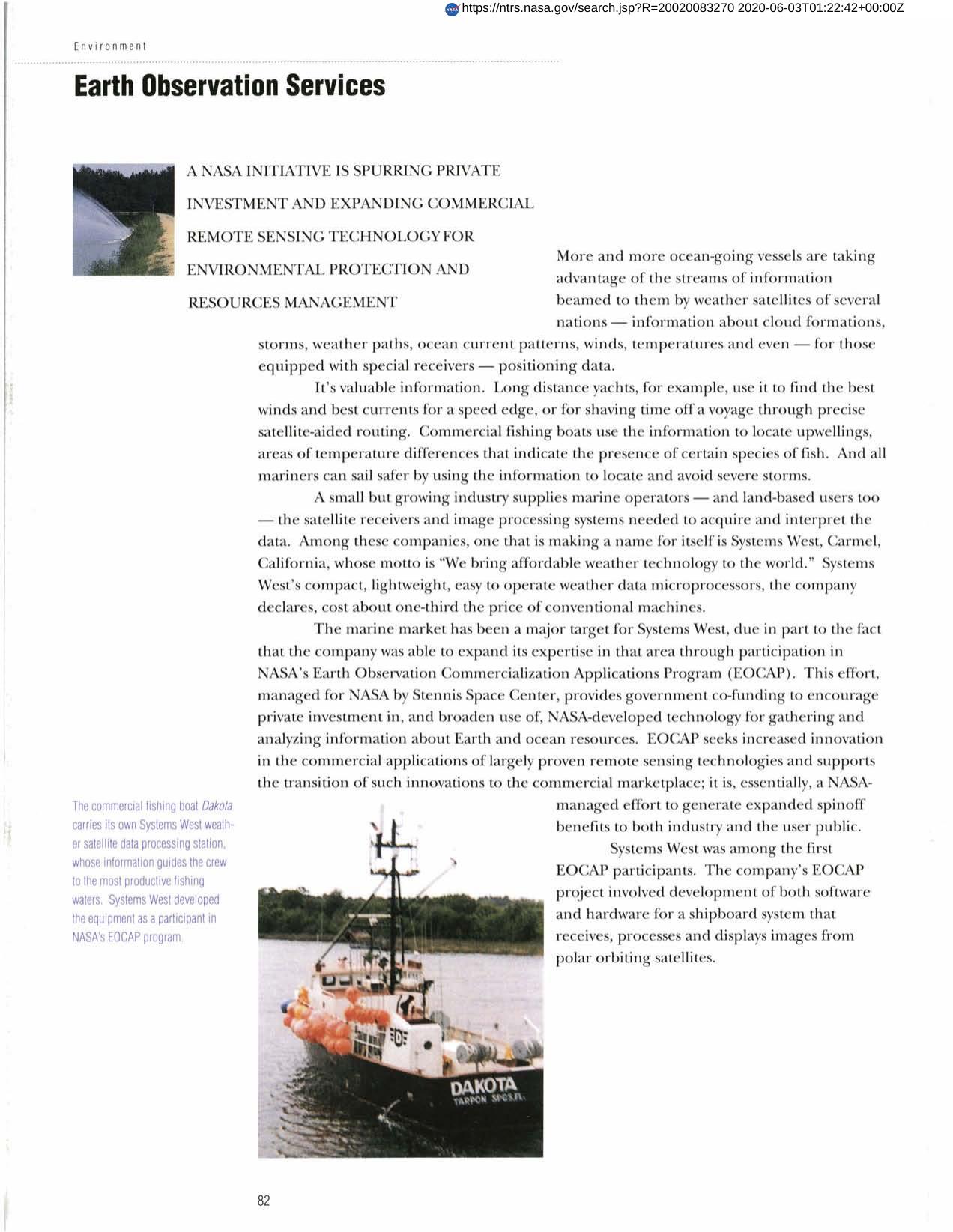
An EOCAP project led Research Planning, Inc. to the development of advanced techniques for environmental sensitivity" oil spill mapping. The new method incorporates satellite remote sensing and GIS technologies and was utilized to assess the damage potential of the Gulf war oil spill. EOCAP provides government co-funding to encourage private investment in and to broaden the use of NASA-developed technology for analyzing information about Earth and ocean resources."
Full article: http://hdl.handle.net/hdl:2060/20020083270
Abstract
An EOCAP project led Research Planning, Inc. to the development of advanced techniques for environmental sensitivity" oil spill mapping. The new method incorporates satellite remote sensing and GIS technologies and was utilized to assess the damage potential of the Gulf war oil spill. EOCAP provides government co-funding to encourage private investment in and to broaden the use of NASA-developed technology for analyzing information about Earth and ocean resources."

Earth Observation Services Weather Imaging

Earth Observation Services Weather Imaging


